02
Wildfire risk prevention
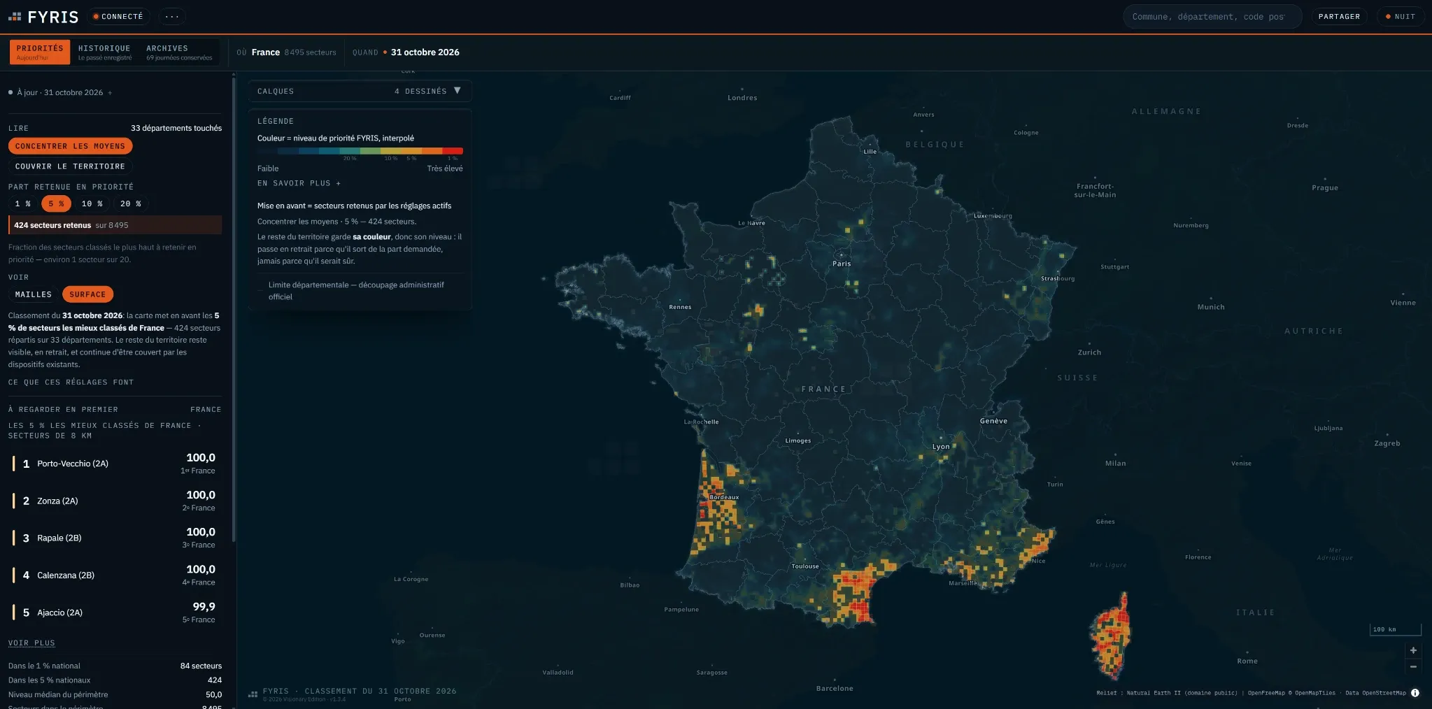
FYRIS: Every day, a relative ranking of sectors across mainland France and Corsica, set on a map, to show where to look first.
- Risk analysis
- Territorial mapping
- Complex information
- Decision support
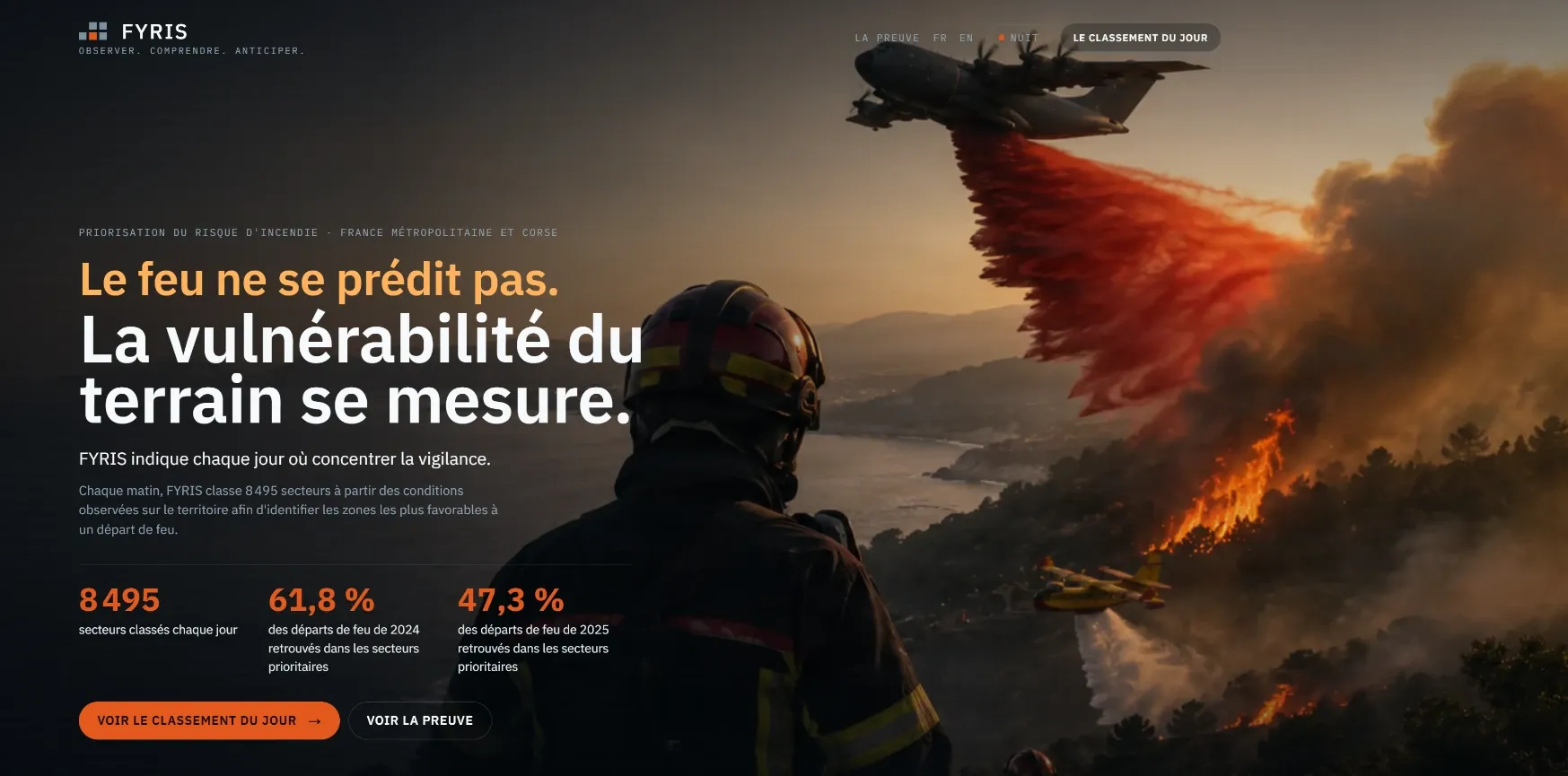
Starting point
Fire cannot be predicted. The vulnerability of the land can be measured. With limited resources, the useful question is not “where is the risk high?” but “which sectors should we look at first?”.
Design stance
A relative ranking, renewed every day: FYRIS orders sectors against one another to help allocate attention and resources. Precise vocabulary — a rank, never an official warning or a probability — and results published with their protocol.
What was built
- A daily ranking of 8,495 sectors of 8 km, across mainland France and Corsica.
- A daily map with a free account: interpolated priority level, share retained from 1% to 20%, two readings — concentrate resources or cover the territory — and sealed archives that are never rewritten.
- Public pages showing what a rank decides, on real situations reconstructed after the fact.
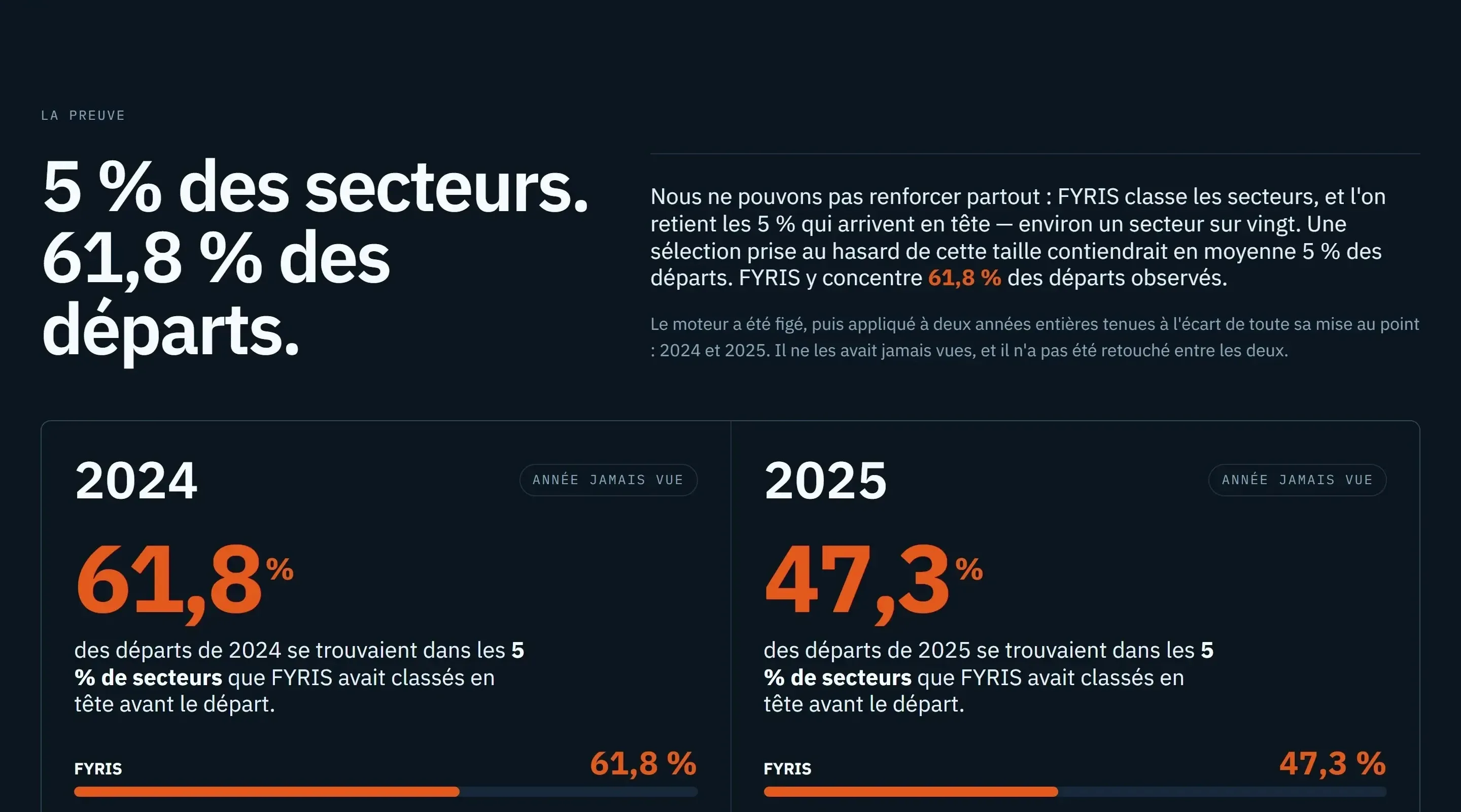
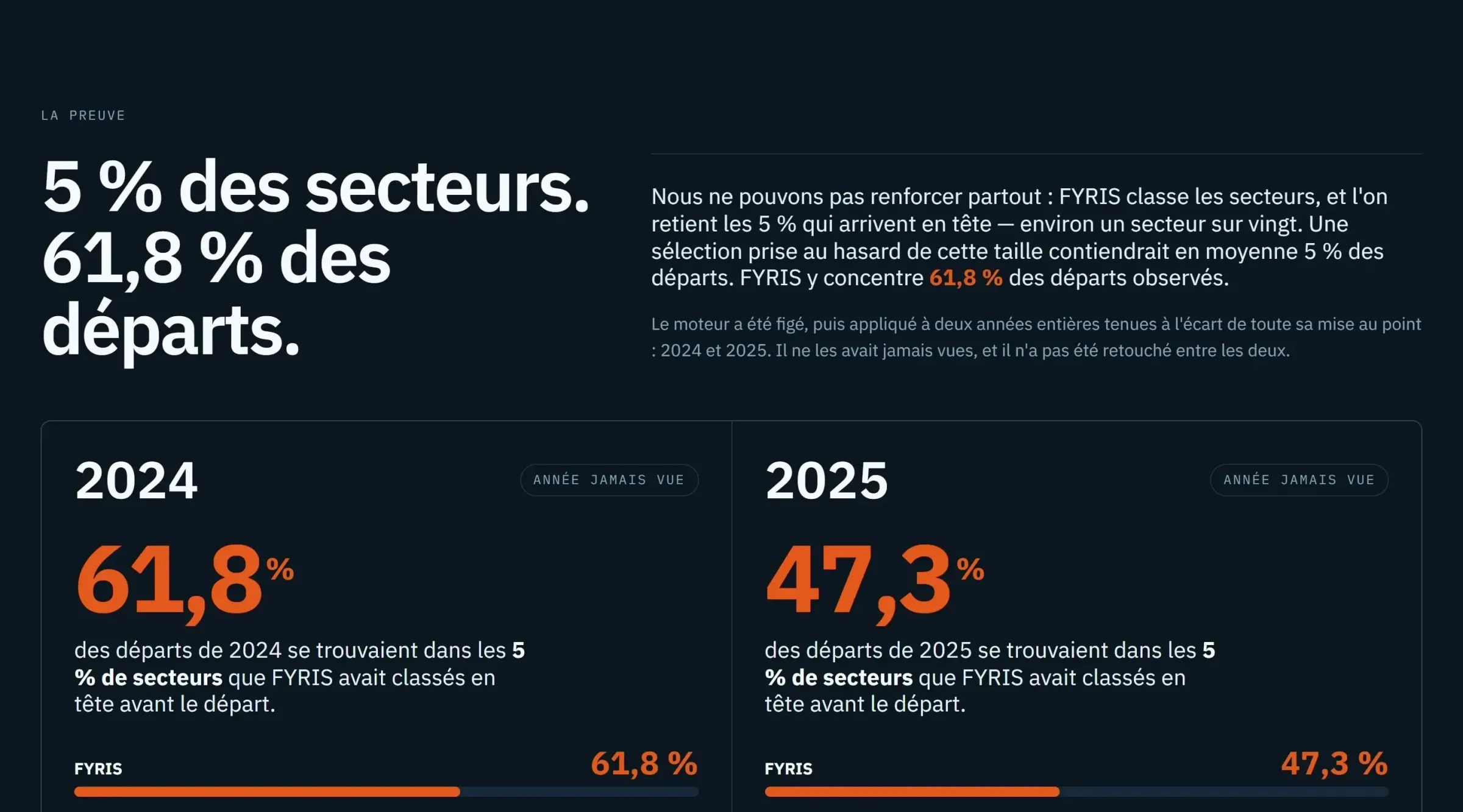
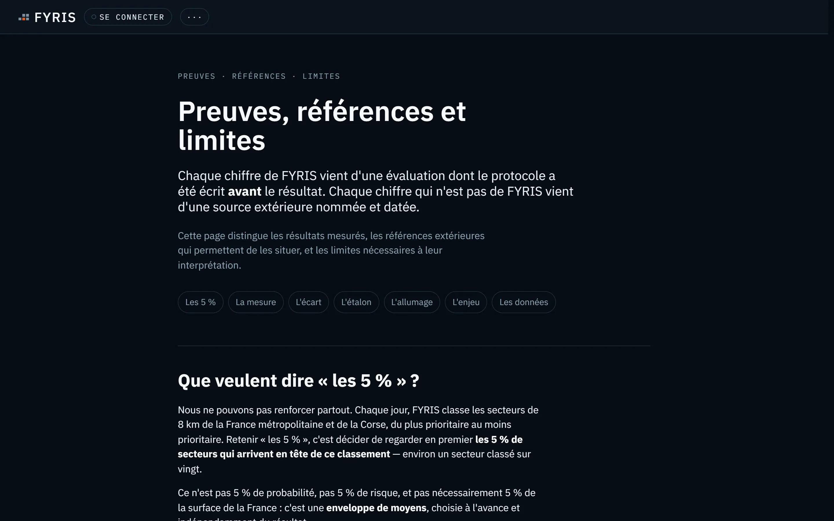
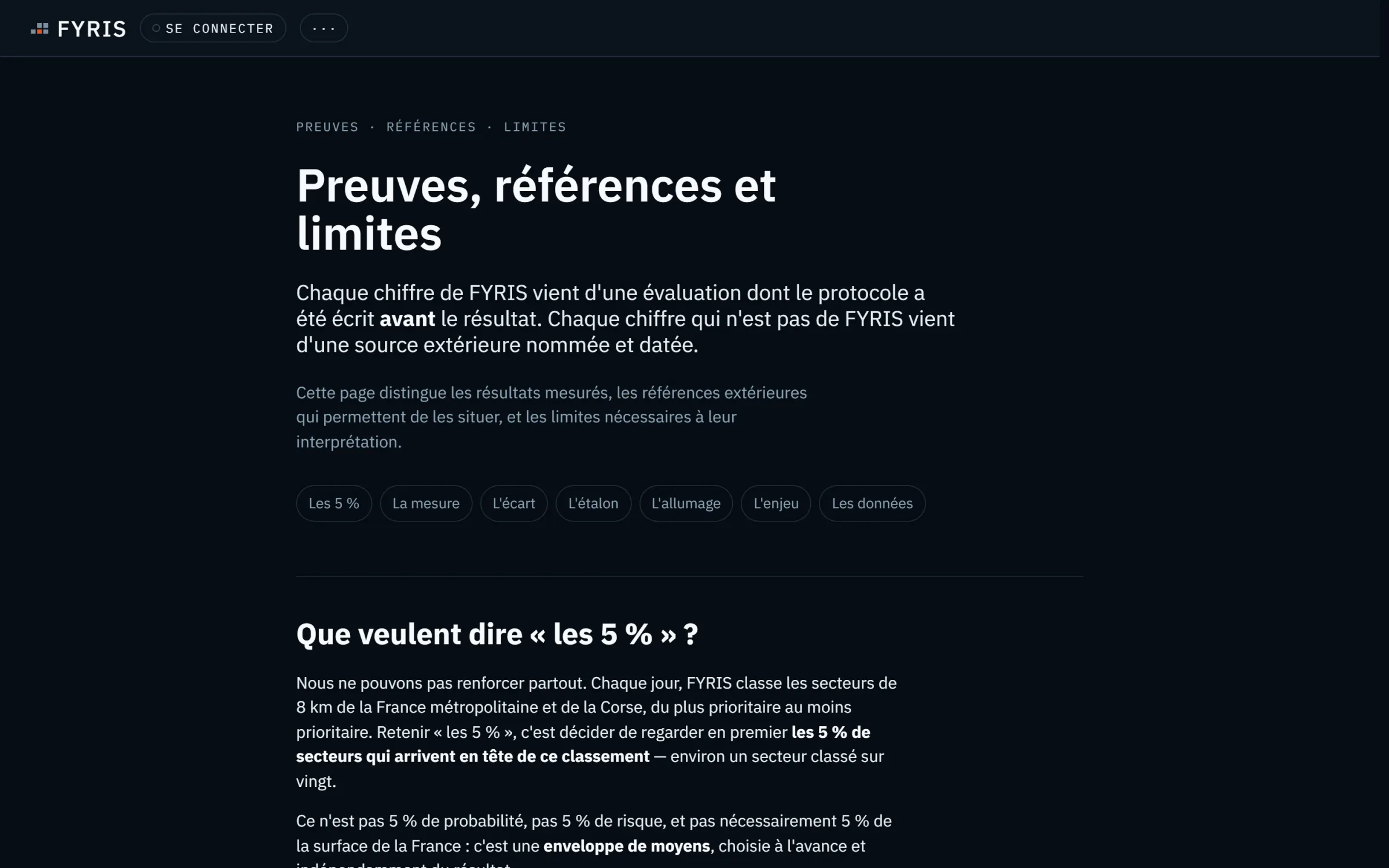
- An Evidence, references and limits page: every figure comes from an evaluation whose protocol was written before the result.
Screenshots of the public interface
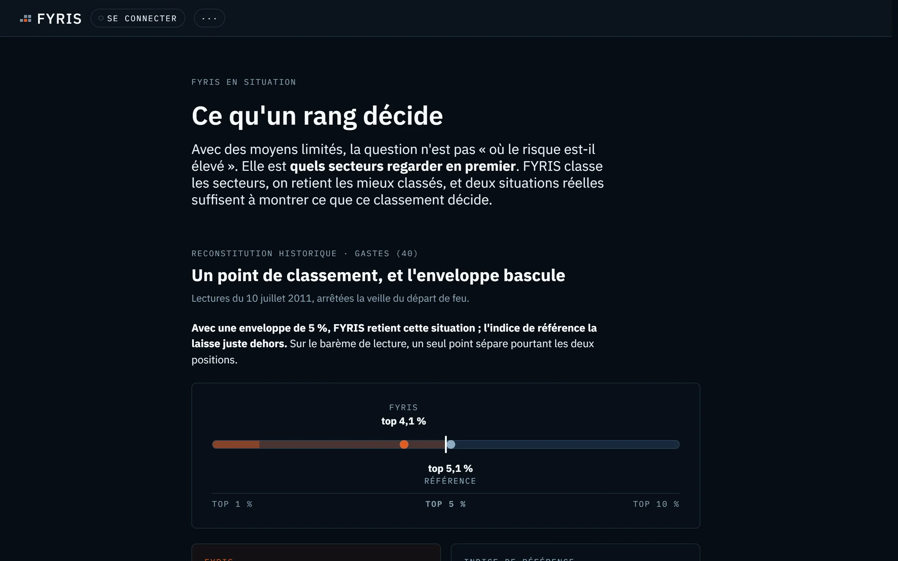
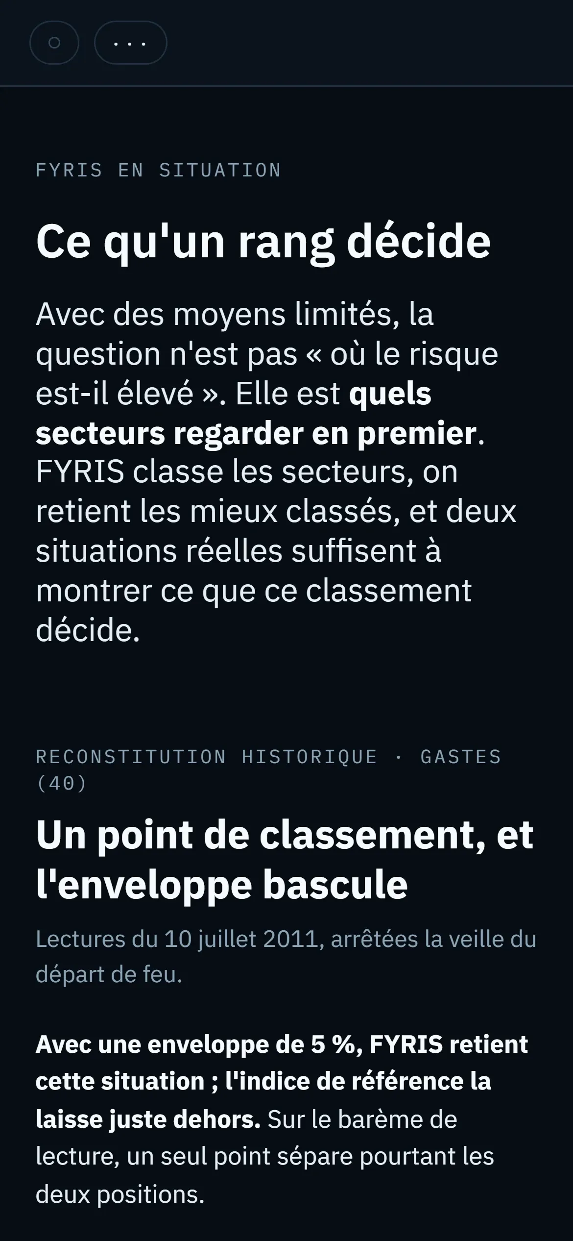
Real screenshots of fyris.fr (French versions), October 2026.
Requirements held
- Measured
- Evaluated on years the engine had never seen, and compared with the European reference fire weather index.
- Transparent
- The areas where FYRIS ranks less well are published next to the results.
- Strict vocabulary
- A relative level — never an official warning, never a probability of fire.
- Support, not decision
- FYRIS shows where to look; the decision stays with those who carry it.
Verifiable evidence
- sectors of 8 km ranked every day, across mainland France and Corsica
- 8,495
- of 2025 fire starts fell within the top 5% of ranked sectors, against 33.8% for the FWI index
- 47.3%
Good to know
- A relative ranking: not an alert, not an official warning, not a probability of fire.
- FYRIS is compared with the FWI fire weather index and does not replace it.
- It observes the state of the land, not the ignition source, and ranks less well where no fire has been recorded in the past.
Status
Live. Public pages open; the map with a free account.
What this work demonstratesfor your project.
- Turning a vast reality — thousands of sectors — into a simple ranking that supports a decision.
- Evaluating a model against a protocol written before the result, on data it has never seen.
- Publishing limits next to results, in the language of the people who decide.
Is your project in a completely different field? That is exactly what this work shows: the ability to understand a new trade and build the tool that fits it.